")


Detection of different drone models

3D situation display

Detection of drone model with payload and alerting to mobile device
Description of the product
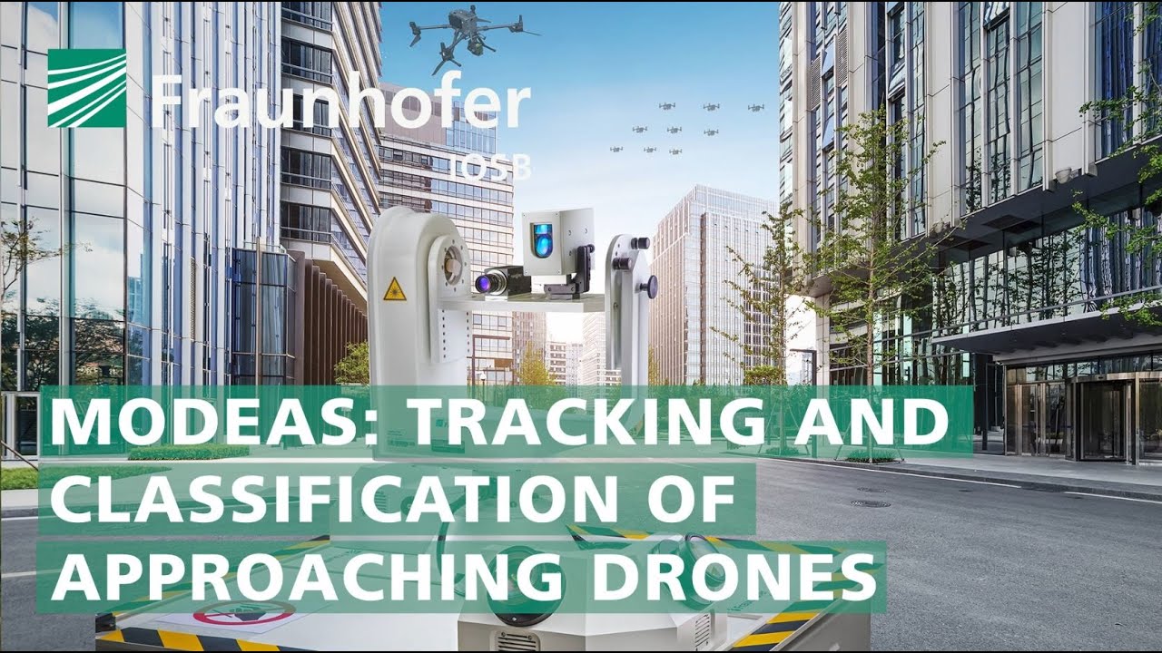
MODEAS is a multisensory experimental system for detection, localization, tracking and classification of approaching (mini-)drones. The system integrates robust AI-based video evaluation methods with other sensor technology (for the moment only optronics and radar). All available information flows in real time into a 2D/3D visualization application, where it is linked with context-related assistance functions. Thus are the decision-makers provided with the best possible support in assessing the situation and weighing up the defending measures.
MODEAS addresses the growing threat that the fast and increasingly powerful mini-drones, which are nowadays widely available pose, for example, to air traffic and major events.
Features / Advantages
- Wide-range detection of flying objects with complementary sensors (optronic, radar, laser rangefinder).
- Drone detection with high-resolution cameras at distances where the object appears only as a small dot in the image (so-called point target)
- Subsequent localization and tracking of detections using directed cameras for AI-based destinction of drones from birds/clutter
- Image-based AI for classification of drone type and payload.
- Imagery-based result for identification and estimation of the drone's dangerousness
- 3D representation of the situation within the environment model
- 2D map visualizaion with decision-supporting information about the drone and alert function to mobile devices
- Modular and scalable design: can be combined with additional sensors for early detection e.g. acoustics or radio frequency